


The future of wildfire: UBCO research helps communities build solutions
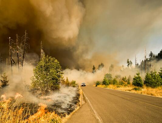
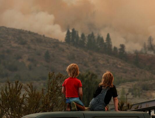
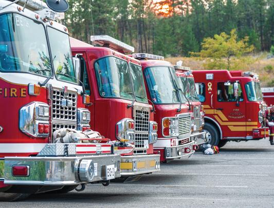
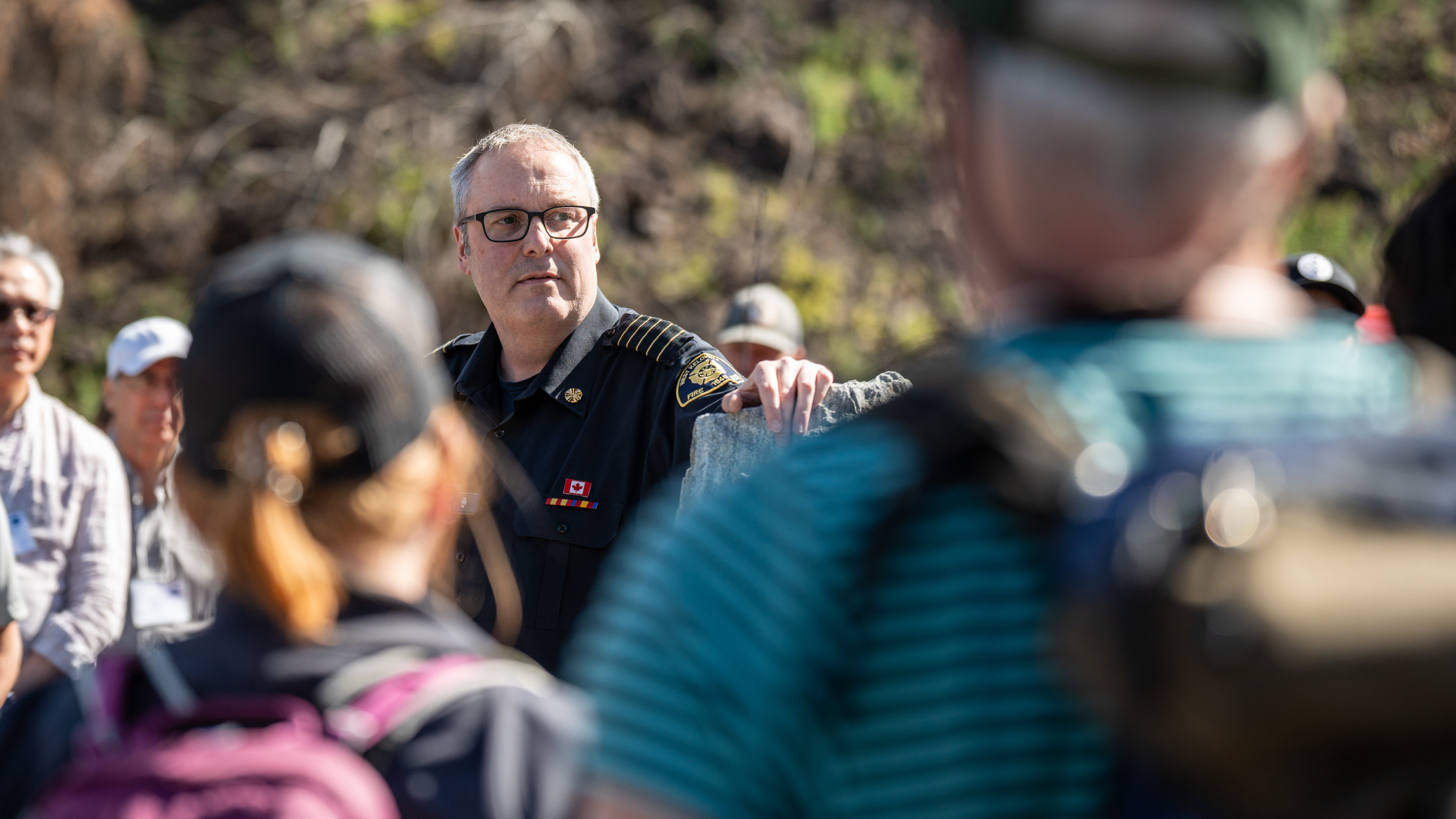
Flames surrounded West Kelowna Fire Chief Jason Brolund’s crews. Firefighters had dug in to protect the $75-million Rose Valley Water Treatment Plant from the 2023 McDougall Creek wildfire.
“The fire came from everywhere,” Brolund says.
“The mayor and I had a conversation very early in the fire, and he said, ‘Chief, do not lose that water treatment plant.’ ”
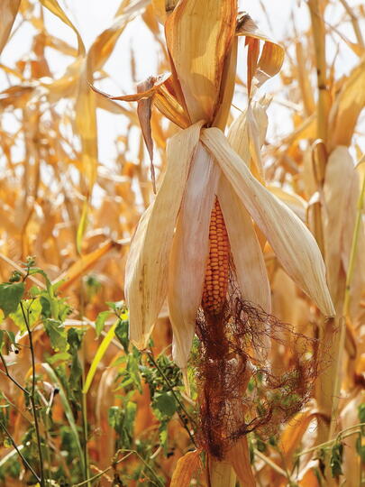
The McDougall Creek wildfire ultimately scorched roughly 13,500 hectares, forced 35,000 people to evacuate, and destroyed nearly 200 buildings — but not the water plant.
The Herculean efforts at Rose Valley worked, but those involved remind everyone that firefighters are heroic, not invincible.
Forest fire education
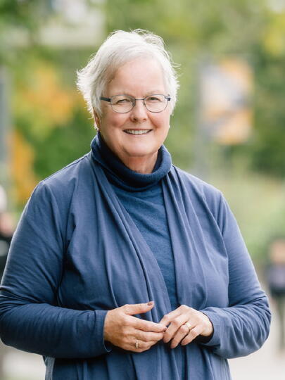
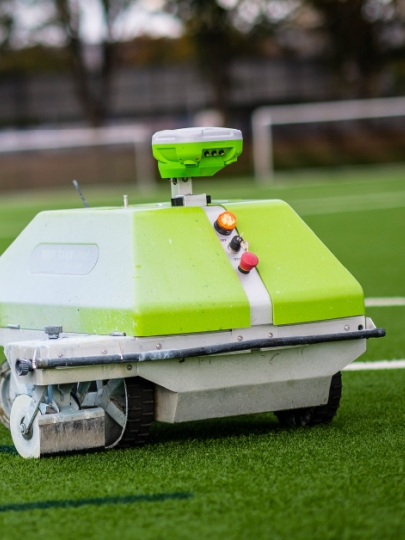
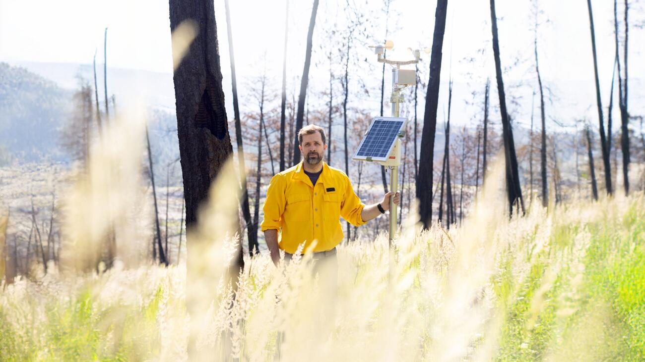
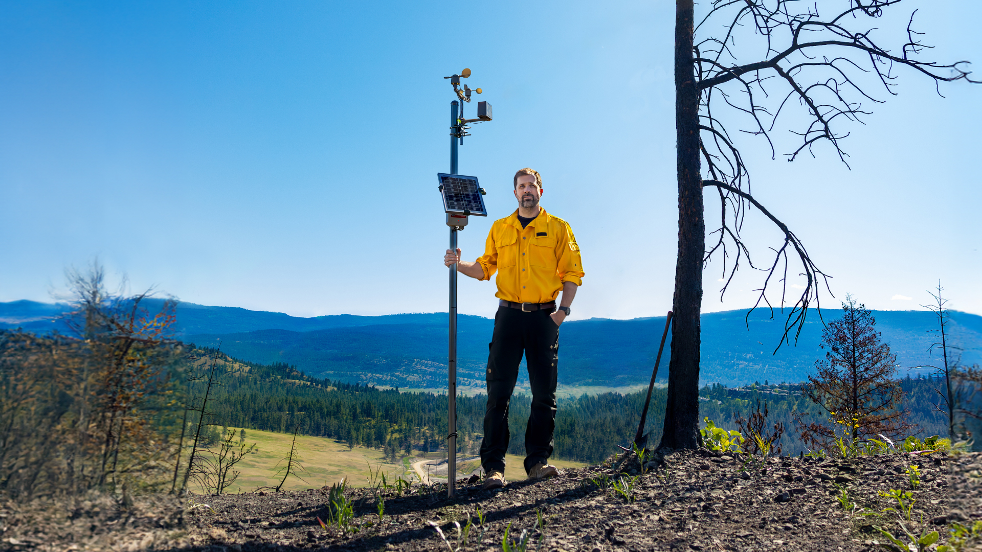
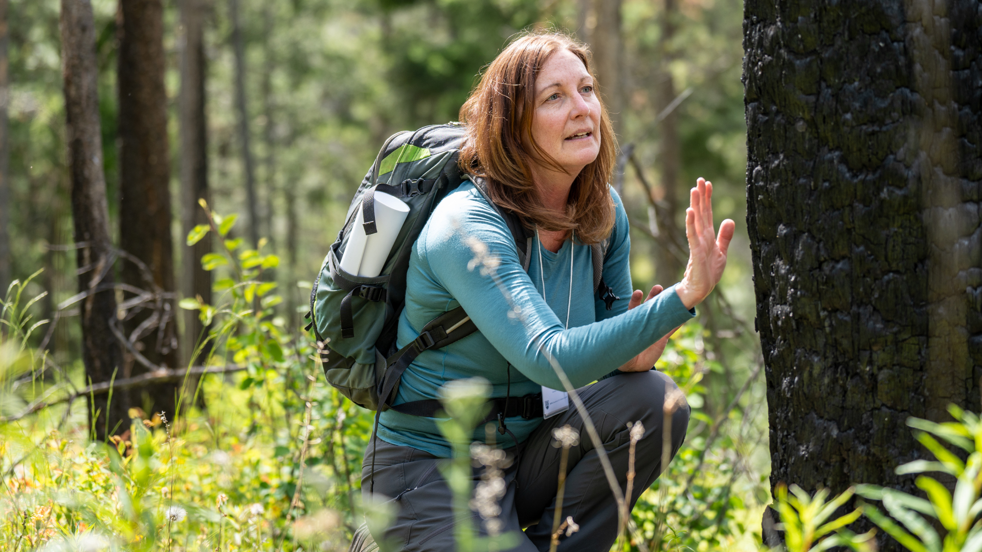
UBC Okanagan researcher Dr. Mathieu Bourbonnais is pursuing solutions to help communities predict, plan for, and prevent such destructive wildfires. His low-cost, purpose-built wildfire sensors help pinpoint when forests are most susceptible to ignition.
His upbringing near Edmonton, Alberta, and an inherent love for the outdoors led him to fight wildfires as a university student.
Part of his early career involved rappel teams, but he found himself drawn more to the satellite images he’d see as part of his work. He channeled that interest into a career researching wildfire science.
Now, as an Assistant Professor with UBC Okanagan’s Department of Earth, Environmental, and Geographic Sciences, he’s examining wildfire coexistence.
“The wildfires I see now aren’t the same wildfires I saw 10 to 15 years ago. They’re a different beast,” Dr. Bourbonnais says. “We’ve got to realize that new approaches are needed for facing future wildfire seasons.”
Reducing wildfire risk
Dr. Bourbonnais says everyone has a role to play in finding solutions. Homeowners can follow FireSmart BC principles. Community leaders can map threats to neighbourhoods and work with agencies and experts to thin fuels, especially on the forest edge near homes.
Academics can provide the evidence to make decisions. Dr. Bourbonnais is placing sensors around the Okanagan Valley to pinpoint high-risk locations.
His low-cost sensors are easily installed in the wilderness and provide real-time information on wildfire conditions.
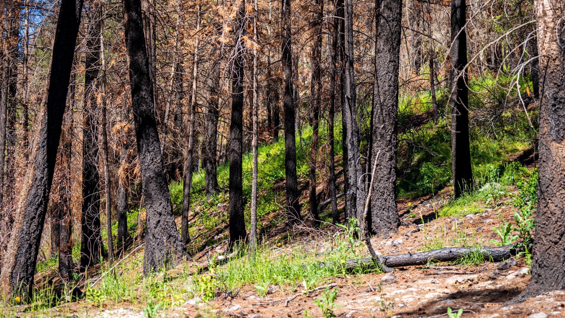
The McDougall Creek wildfire burned over 15 sensors in the field. They provided crucial data on wind, humidity, temperature, and soil conditions.
“This data helps us understand where our highest risk areas are around Kelowna and how to address them,” Dr. Bourbonnais explains.
Remote sensing technology
In collaboration with Rogers Communications, Dr. Bourbonnais’ team is leveraging satellite technology to enhance the sensors. The partnership provides access to Rogers’ cellular networks, technical support, and deployment strategies crucial for real-time data transmission, particularly in remote areas outside cellular coverage.
Dr. Bourbonnais is also committed to expanding sensor capabilities through technology. Solar panels, thermal cameras, advanced air quality, and fuel moisture monitors are now indispensable.
However, the data is only worthwhile if there are boots on the ground to use it.
“Changing how we manage fuels, fires, and landscapes are things we can address right now. We have policies and people who can do the work — including prescribed burning and thinning — and we have the knowledge. Unfortunately, we’re not fully harnessing it to our advantage,” Dr. Bourbonnais says.
“When developing new technologies, it’s important for us to think about how wildfire agencies, fire departments, and emergency management organizations operate. These groups have existing systems and deal with incredibly complex emergencies, so new technologies shouldn’t add to the challenge.”
Linking wildfire, forests, and biodiversity
The conditions that allow large and aggressive wildfires to develop today are an unintended consequence resulting from a century of fire and forest management.
Criminalizing the use of fire by First Nations, suppressing as many fires as possible, and industrial harvesting practices have all reduced the diversity of forests and resulted in more fuel. A changing climate has increased the frequency of extreme wildfire weather, making those fuels more flammable.
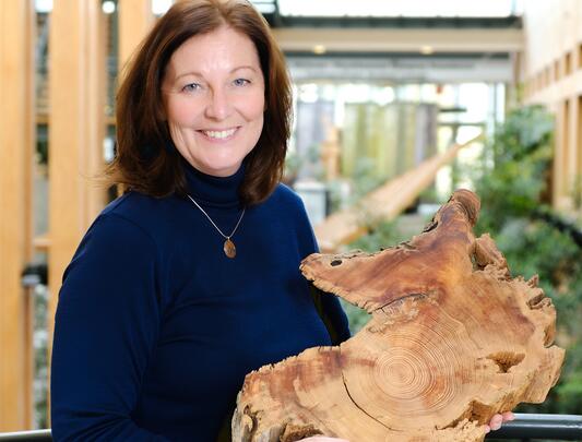
Changing management practices without the ecosystem-specific information can lead to repeated damage, which is why Dr. Bourbonnais joined Dr. Lori Daniels (MSc'94) of UBC Vancouver in creating the Centre for Wildfire Coexistence.
As a professor in the Department of Forest and Conservation Sciences, Dr. Daniels examines how forests change over time, which is crucial for restoring and nurturing them into the future.
The Okanagan provides a prime example of this change. “Today, we have far more trees than we historically had in many parts of the valley, which has changed how fires burn in this region.”
Dr. Daniels adds that previously, grasslands and open woodlands included plants and animals that were adapted to more open conditions resulting from frequent surface fires.
“In absence of these low-impact fires, trees have encroached, creating a closed-canopy forest. This has altered biodiversity and created abnormally high fuel conditions.
“Restoring these ecosystems means proactively thinning understory trees and revitalizing the understory plants with cultural and prescribed fires,” Dr. Daniels says.
“Measuring ecosystem response ensures we achieve those benefits and don’t create new unintended consequences.
“Monitoring is essential so that we know if we got it right — or if we got it wrong and need to adapt future restoration and management. We owe this to future generations.”
Wildfire fighting innovations
Dr. Bourbonnais is collaborating with wildfire agencies. He’s introducing them to the latest findings and approaches. He’s learning how they work and what they need, all to make the most difference for those on the fire lines.
“I can’t scroll through thousands of lines of a spreadsheet to figure out if it’s going to be a bad wildfire day,” Chief Brolund says. “But we could create a system where sensors tell us all the conditions are aligned.
“That’s where we can start to use processing horsepower and AI to, one day, send fire chiefs a text saying, ‘We’ve looked at the data, and it meets the criteria. Look out.’ That’s where it gets really powerful. It’s exciting. It’s how we can start tying these two worlds together.”